This feature is introduced in Tumonz 11 and not available in older versions. Tumonz 11.04 screenshots below – this may vary slightly in other versions.
Tumonz now support integrated high-detail satellite & road map images as a background for your mapping for all of New Zealand. Click on any image to enlarge it.
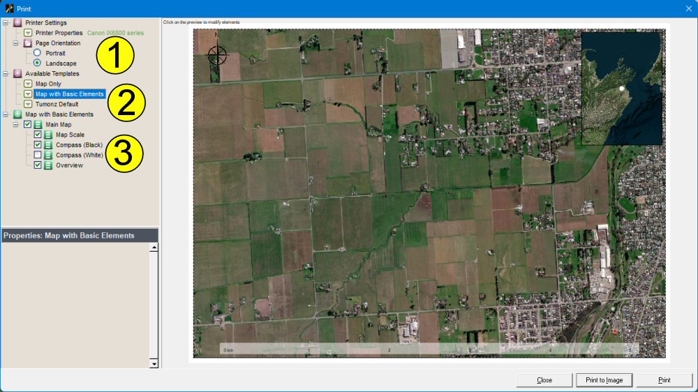
Select File|Print (Ctrl-P) to show the Tumonz Print Preview – select your printer and either portrait or landscape (1), and the Template you want to use (2). Once you’ve loaded the template you can toggle print elements e.g. turn the Compass (White) on if the map background is dark and the black compass is not clearly visible.
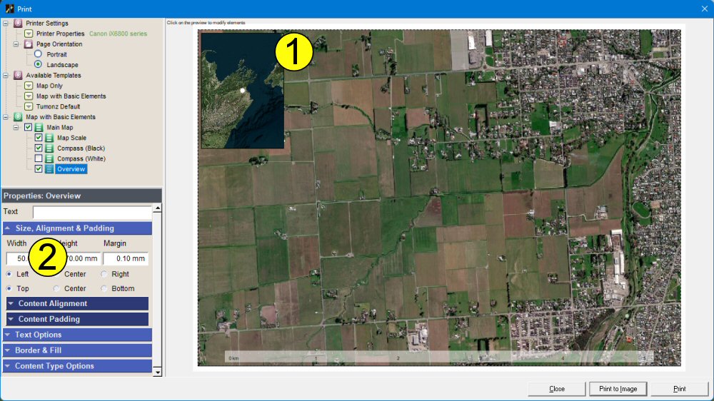
You can click on the preview to select any print element e.g. click on the small map overview (1) to select the element and then change properties like size & position in the property panel (2); in the example the Map Overview was moved to the left. The current main map view is indicated in the overview.
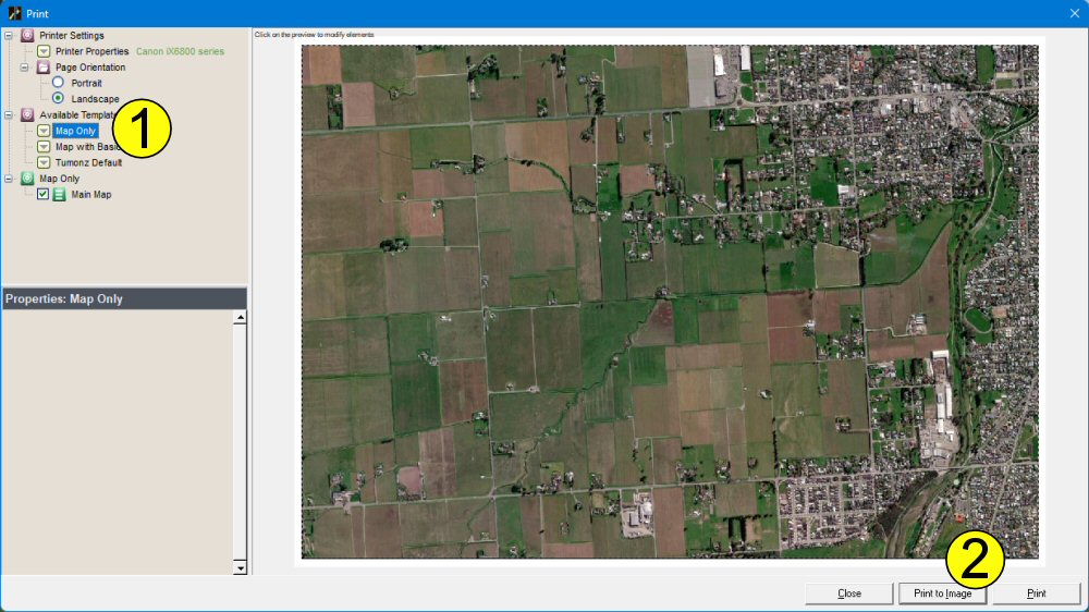
You can generate a map image instead of printing the map on a printer – this image can then be used in documents or web content. The Map Only template (1) is handy for this purpose, but any of the map templates can be used for images. Just select the Print to Image function (2) and choose a file to save to.
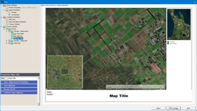
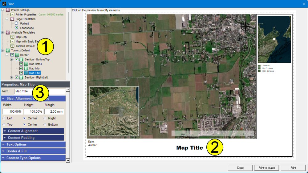
Some map templates have a lot of different options – you can turn of groups of elements e.g. the Tumonz Default template (1) has Section – Left/Right and Section – Top/Bottom which can be moved or toggled before printing. You also change the text by clicking on it in the preview (2) and then changing the heading text / color / font in the property panel (3).