
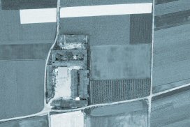
High-detail Satellite Photos for all of NZ
New map layers loading high-detail aerial photos as a background for your data everywhere in New Zealand.
More...
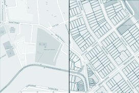
Street View maps for All of NZ
Overlay vector property information (with title and owner information) on street view raster maps.
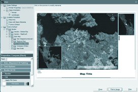
Customizable Print Templates
Choose from a variety of print templates, or export a map image to use in other programs.
More...
User-defined map object types
Align the rendering style of all objects of the same user-defined types e.g. fences or pipelines.
More...
New Topo50 / Topo250
All new Toppo50 scans, and introducing Topo250 scans, all displayed in a new map style as a seamless NZ wide surface.
More...

Mobile Map Support
You can now easily show your Tumonz map data in any mobile device using custom Google Maps.
More...
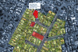
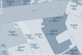
Property Layers in the Online Map
We have now added the capability to load selections or an entire surface of parcels to view over the online map. Share these with mobile devices.
More...

Full Online Installation
Tumonz 9 is downloadable. After purchase, you will be sent the Product Key and you can start the installation. You may still order the installation on USB flash drive.
New Zealand Sea Charts
Comprehensive collection of NZ Sea Charts (208) with associated mariner notices, all easily displayed as an interactive map boo.
More...

Complete Map Building in the Online Map
Full map building/editing capability all within the online map. View your personal map layers (shapes and lines) at once over the excellent satellite background. Add layers, polygons and lines; select colours, fills, and transparency.
More...

Background Map Updates
The new background data update application takes care of data updates and notifying you when new data layers are available. This will include a number of free Property Layer updates.

New & updated map layers
Latest legal / title / parcel layers, new road network with route planning, new topographic vector data layers including the offshore islands, new survey and boundary marks, tide data and new aerial imagery.